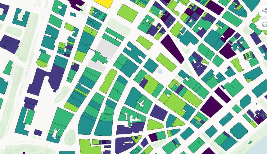
Build maps worth sharing.
Turn finished GIS work into an interactive map anyone can open in any browser.


"Mango delivers all the functionality we need to grow." - Phil Henry, Managing Director, Business Geographics









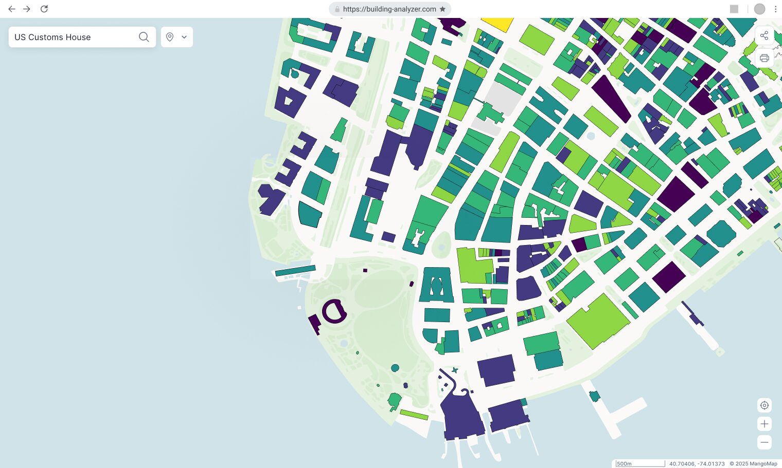
Publish finished GIS work as interactive web maps
Share them with anyone. No software required.
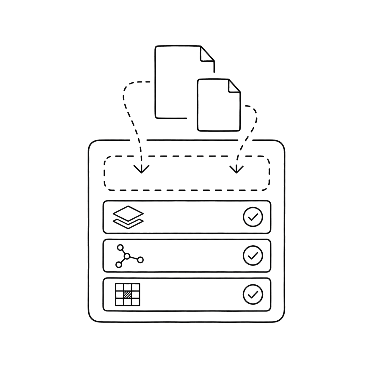
Your formats, your schema. Drop it in.
No manual reprojection, no conversion step.
Publish once. Everyone always sees current data.
Share a link. No re-exporting every time something changes.

No enterprise subscription. No developer.
No re-exporting every time the data changes.

Control who sees or edits.
Clients, colleagues, or the public. Access on your terms.

Teams already doing this with Mango
From county portals to nationwide surveys — real teams, real maps.

Columbus County, North Carolina replaced an aging server-based GIS with a Mango portal that now draws more than 17,000 views a month — with nothing for residents to install.
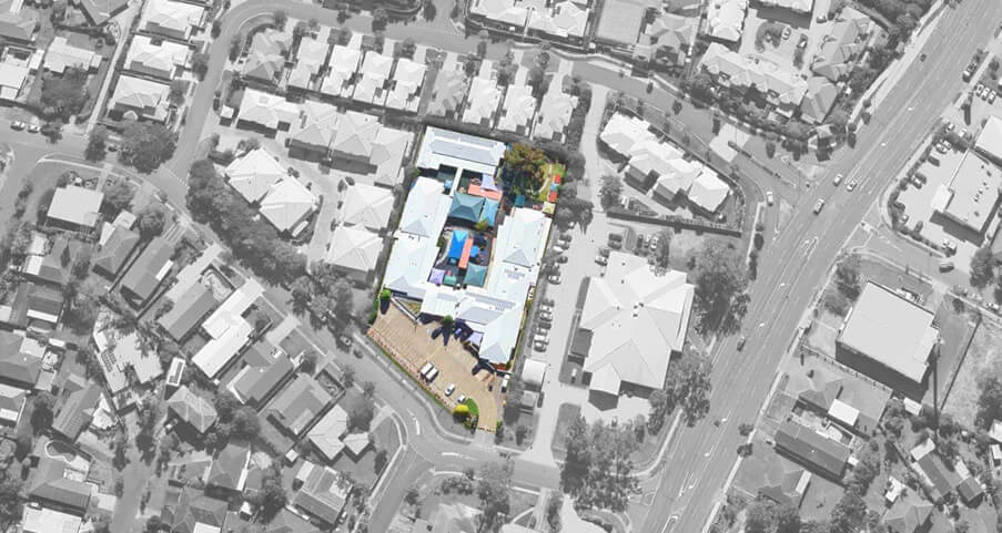
Australian consultancy Business Geographics whitelabelled Mango to turn its proprietary datasets into self-service, subscription mapping products for its clients.

A University of Manitoba research team used Mango to map Winnipeg's food deserts, turning socioeconomic data into a story the public could explore.
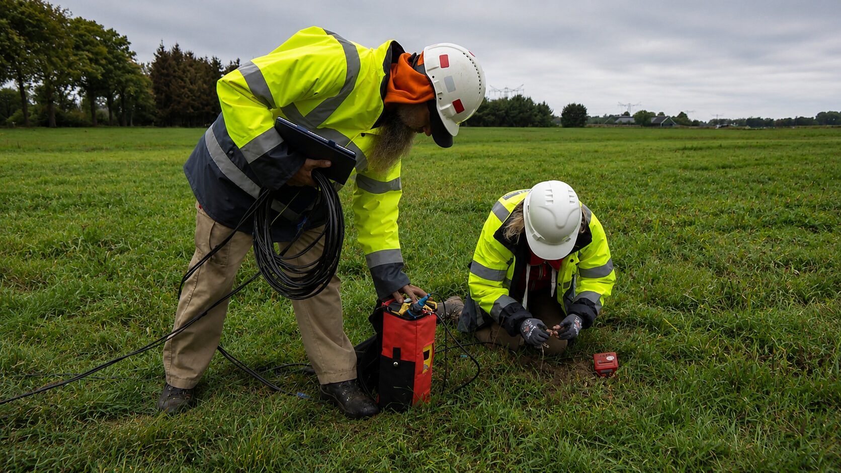
GIS consultancy DavSeis kept Europe's biggest seismic survey — 300 people working nationwide — running from one always-current map.
“Love Mango... compared to ArcGIS online, it provides better visual mapping and a straightforward pricing model.”

Dr. Chris Green
Snr Epidemiologist, WRHA
“Mango does what we need it to do, at a fraction of the cost of its competitors.”

Hope Kallio
GIS Specialist at Mostrom & Associates
“A great out-of-the-box product—professional results with minimal time and money spent.”

Emily Selphe
Charlevoix County, MI
“I like the analogy that Mango use: sometimes it's better to use a scalpel than a swiss army knife.”

Phil Henry
Business Geographics & Qikmaps
“Great functionality for client visualisation and easy distribution. It's a game-changer.”

Jake Tanner
Lead GIS Developer/Analyst, Burgex, Inc.
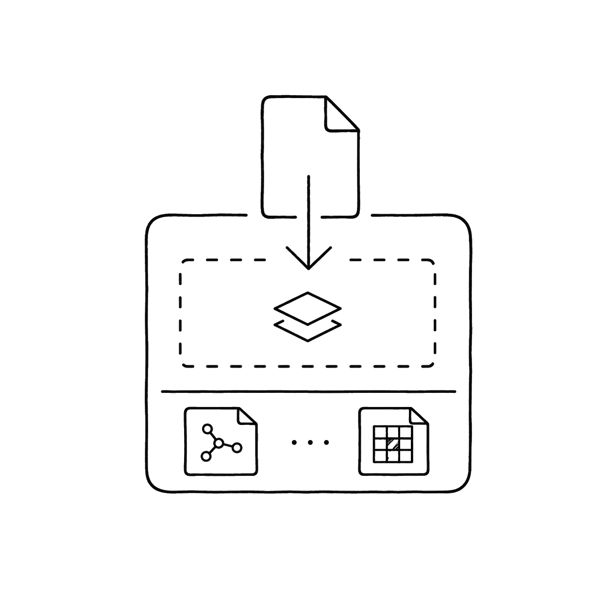
Drop in a Shapefile, GeoJSON, GeoTIFF, KML, or CSV. Your schema comes with it. Nothing to remap.

Style layers, configure popups, set the extent. Your cartography, not a default template.

Share maps or open data with one URL. You decide who can open it.

Change the data. The map updates. The link stays the same.

Every map, every client, every project in one place.
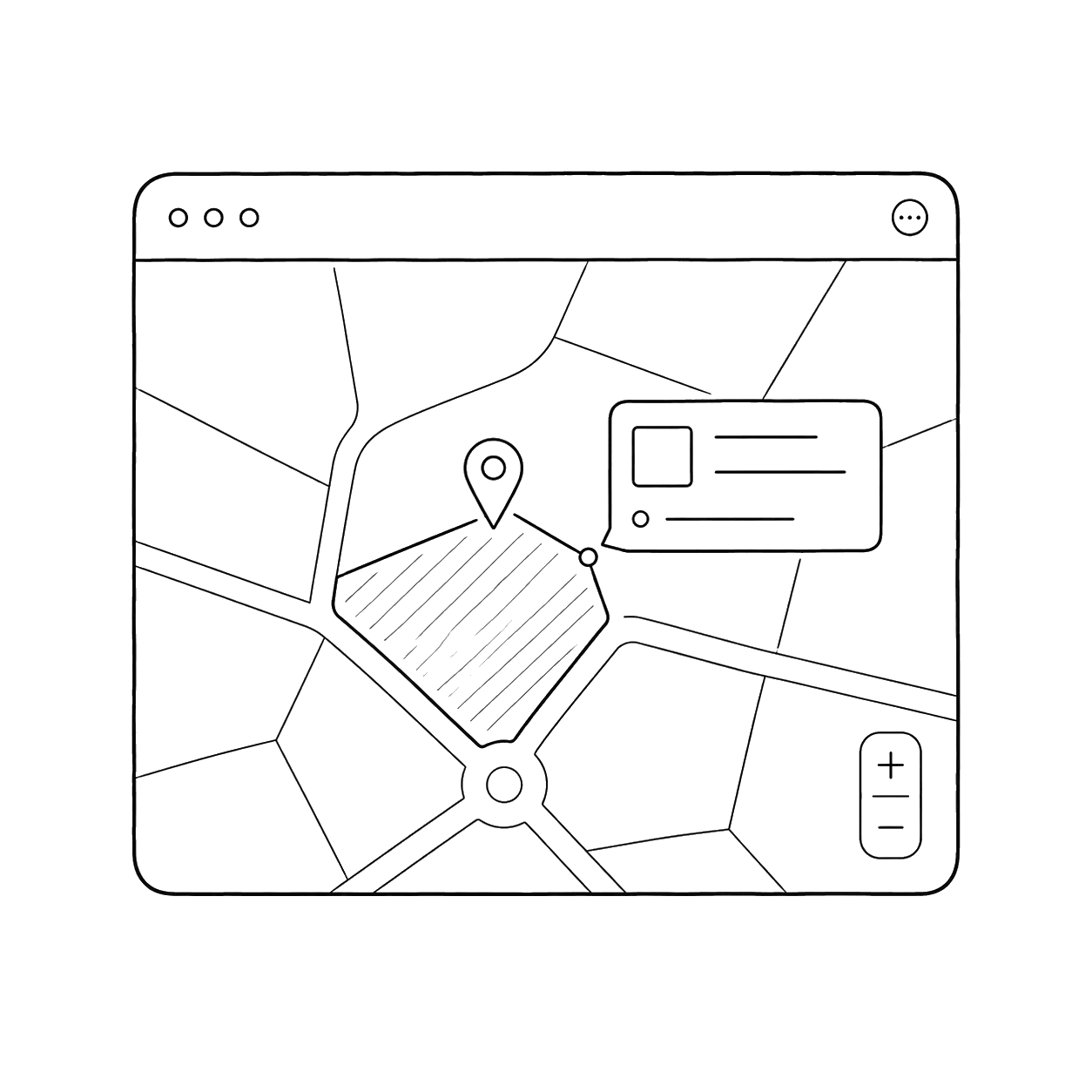
Share a portal your clients can explore without calling you.
Does it work with my existing GIS formats?
Yes. Shapefile, TAB, GeoJSON, GeoTIFF, KML, WMS, CSV with coordinates, whatever you're already working with. Import your data, we'll handle the rest.
How secure is my data?
Your data stays yours. 256-bit encryption, secure hosting, and granular access controls at both the map and data level mean you decide exactly who sees what. Nothing is public until you choose to make it so.
Will non-GIS users be able to use the maps?
That's the whole point. Send a link to a client, a council member, or a project manager. They'll open it in a browser on their phone without calling you for help.
Can I control who sees my maps?
You're in charge. Set precise access levels for teams, clients, or the public with a few clicks. Privacy made simple.
Everything between the data and the link.
Vector Data Support
Shapefile, MapInfo Tab, KML, CSV, FileGeodatabase, and GeoJSON. Upload what you already have.
Ask Your Data Anything
Build powerful filters on any field - without writing a line of SQL.
Advanced Symbology Builder
Thematic, category, heatmap, and custom graphic styles. Built once, reused across every map.
Share with Anyone
Public links for clients, login-required links for internal audiences. You decide who sees what.
Fully Branded Maps
Custom domain, logo, and colours, so every map you publish looks like it came from you, not us.
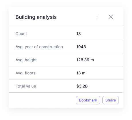
Spatial Analysis
Proximity, buffer, and intersection. Run the analyses your clients need without opening desktop GIS software.
Your next map takes minutes to publish.
The data is ready. Getting the map out shouldn't take another week.