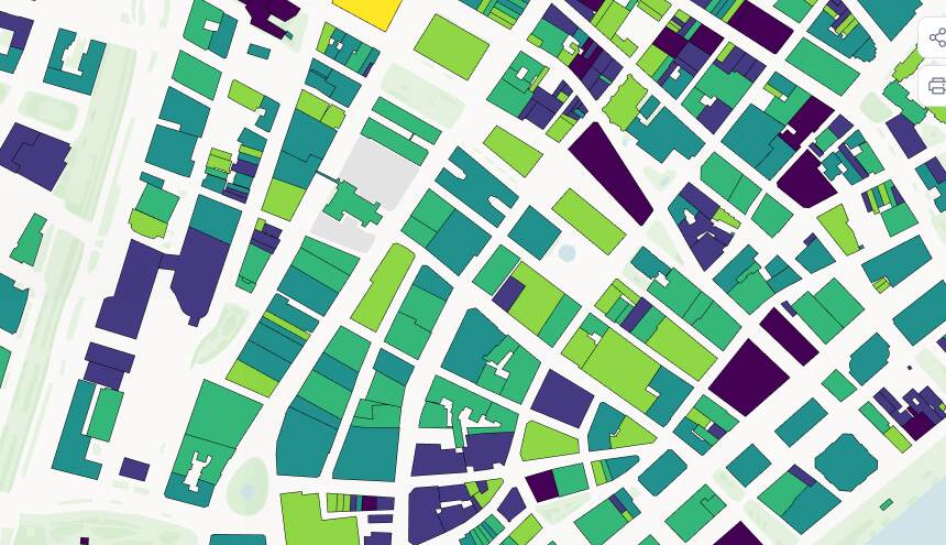
Publish your county's maps. Pay a price that doesn't move.
Mango is the publishing layer for finished county GIS work. Put your parcel, zoning, and E911 maps online, keep them current, and pay the same fixed price year after year.

“Five years in and it just keeps working. Residents find their own parcel, and I get my time back.” Trusted by counties and townships like Columbus, Plumas, and Stowe.







Fixed pricing you can budget for and defend at renewal
Annual and multi-year plans, bank transfer, every cost known in advance. Priced so the spend is easy to predict and easy to justify.
Fixed price, no surprises at renewal
Fixed annual and multi-year plans with no hidden extras. Add premium seats only if you need them, always at a fixed, known fee. The same number every year, easy to budget and easy to take to the committee.

Up and running in hours
Bring your existing maps and have them live the same day. No platform to roll out, no server for IT to stand up or patch.

Your existing data, unchanged
Bring the Shapefiles, GeoJSON, and GeoTIFF you already have. Same schema, same coordinate system. Nothing to rebuild.
One account manager, start to finish
From trial through procurement and renewal, you work with one account manager who knows your county's setup. Not a fresh stranger every time.

Update once, current everywhere
When parcel lines move or zoning changes, update the data once. Every published map and embed reflects it. Residents never land on last year's version.

Local governments already doing this with Mango
From county portals to small-town web maps — real teams, real maps.

Columbus County, North Carolina replaced an antiquated server-based GIS with a Mango portal that now draws more than 17,000 views every month.
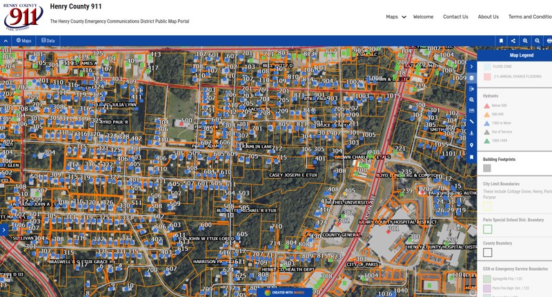
A Tennessee 911 office in Henry County replaced a $30,000 Esri quote with a $2,000 blend of QGIS, Fulcrum, and Mango — without giving anything up.
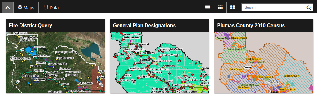
Plumas County's GIS division swapped an out-of-date public mapping platform for an intuitive, cost-effective Mango portal.
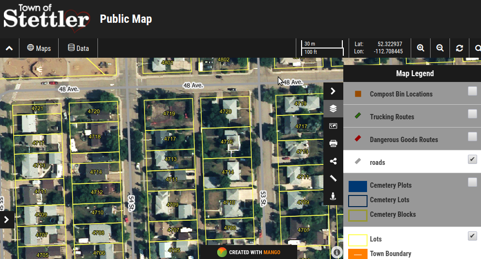
The Town of Stettler, Alberta delivered first-class public web maps on a budget that ruled out enterprise GIS software.
“I would highly recommend Mango to anyone in local government, as it can become such an asset to your staff and community.”

Graham Scott
GIS Coordinator, Town of Stettler
“What immediately impressed me was how quickly I was able to upload data and get a useful map published. Other products I tried required more time in the learning curve than I could afford.”

Alan James
Director of Management Information Systems, Columbus County
“Since implementing Mango into our GIS department’s website, we went from ‘basic and boring’… to ‘WOW!’”
Becky Osborn
GIS Coordinator, Plumas County, CA
“A great out-of-the-box product—professional results with minimal time and money spent.”

Emily Selphe
Charlevoix County, MI
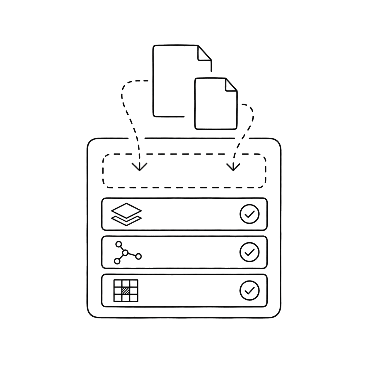
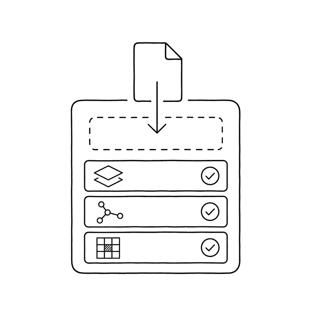
Drop in the Shapefiles, GeoJSON, GeoTIFF, and KML you already have. Your schema and coordinate system come with them.
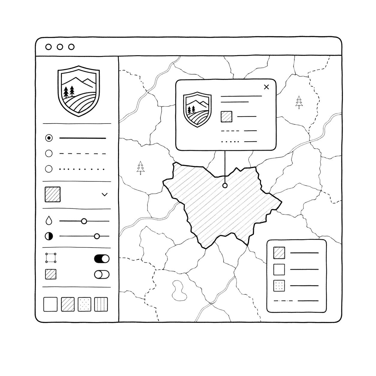
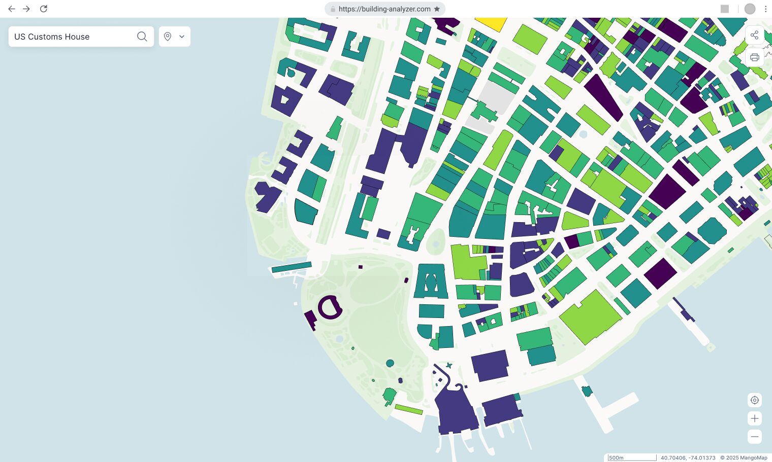
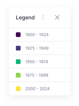
Style it with popups, a legend, and your county's logo and colours. Point and click, no code.

Publish to a link or embed it on your county site. People open it with no install and no account.

Add new data as it comes in. Every published map updates right away, so nobody sees a stale version.

Track every map and portal in one place. Add team members and set who can see each map.

Send the link and step back. The map answers the questions that used to come to your desk.
How does the pricing work?
Fixed annual and multi-year plans. The plan price is set, and any premium add-on seats are a fixed fee on top, so nothing is metered or unpredictable. The same number every year makes it easy to budget.
Do I need to self-host?
No. It is fully hosted. Nothing for county IT to stand up or maintain.
Can I brand my maps?
Yes. Add your own logo, styling, and domain to every map and portal.
Will residents like it?
Residents open a link and explore the map on any device. No login, no GIS software, no manual.
Does it fit procurement?
We know the procurement lifecycle and can work with you through it. Bank transfer and annual billing keep it committee-friendly.
Is it fast to set up?
From upload to a live map in hours, not weeks.
Is this a replacement for our full GIS suite?
No. Your analysis stays where it is. Mango is the publishing layer that gets finished maps online for the people who do not have GIS software.
What if I need help?
You get a dedicated account manager who knows your account and is there to help you get set up and unstuck.
Everything between the data and the link.
Vector Data Support
Shapefile, MapInfo Tab, KML, CSV, FileGeodatabase, and GeoJSON. Upload what you already have.
Ask Your Data Anything
Build powerful filters on any field - without writing a line of SQL.
Advanced Symbology Builder
Thematic, category, heatmap, and custom graphic styles. Built once, reused across every map.
Share with Anyone
Public links for clients, login-required links for internal audiences. You decide who sees what.
Fully Branded Maps
Custom domain, logo, and colours, so every map you publish looks like it came from you, not us.
Spatial Analysis
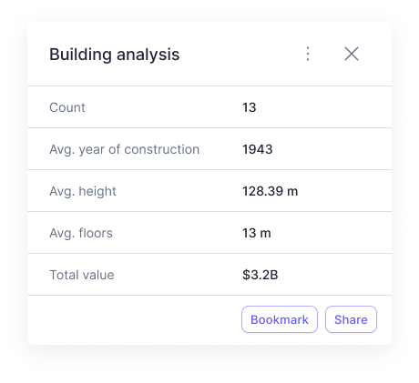
Proximity, buffer, and intersection. Run the analyses your clients need without opening desktop GIS software.
Dependable county mapping, at a price you can plan around
Bring your existing maps and publish them to your county site. Fixed annual pricing, bank transfer, and an account manager who knows your account. Nothing to host, nothing to patch.